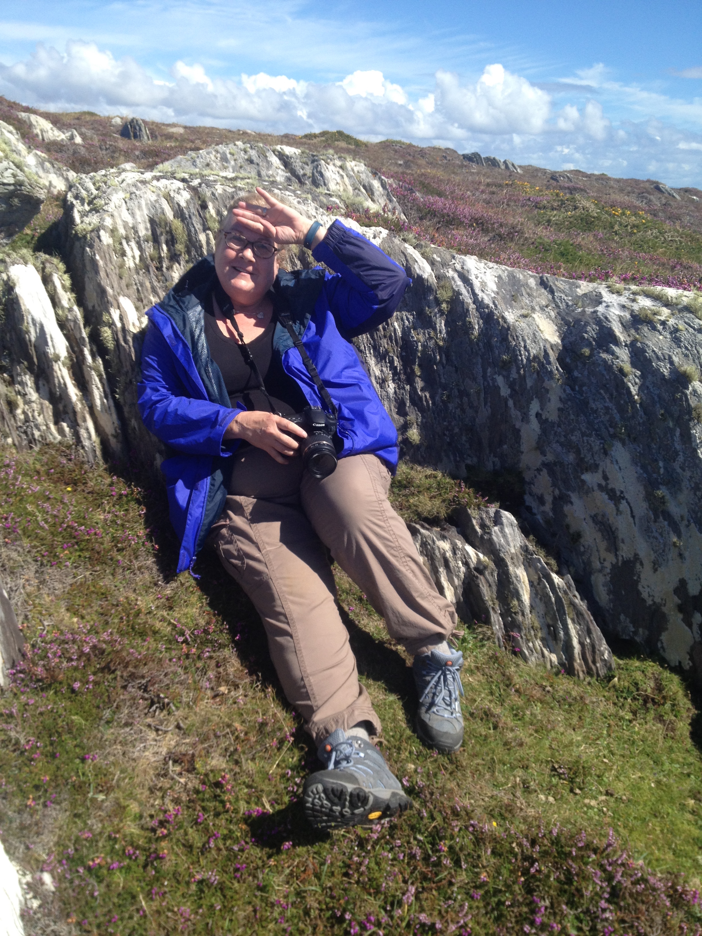
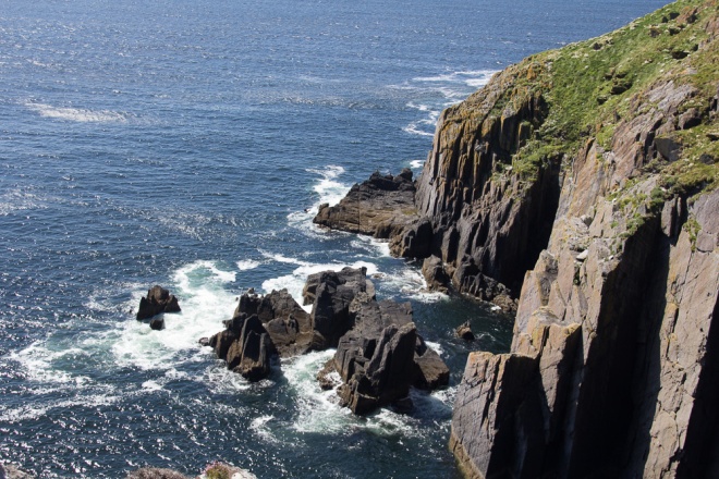
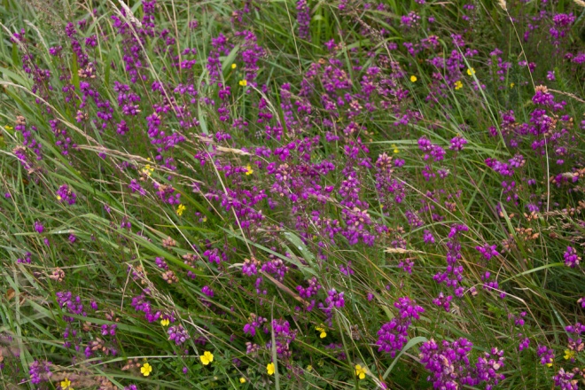
Photo credit: Jamie Williamson
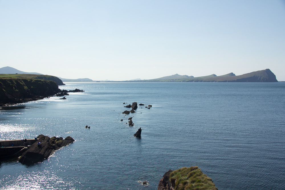
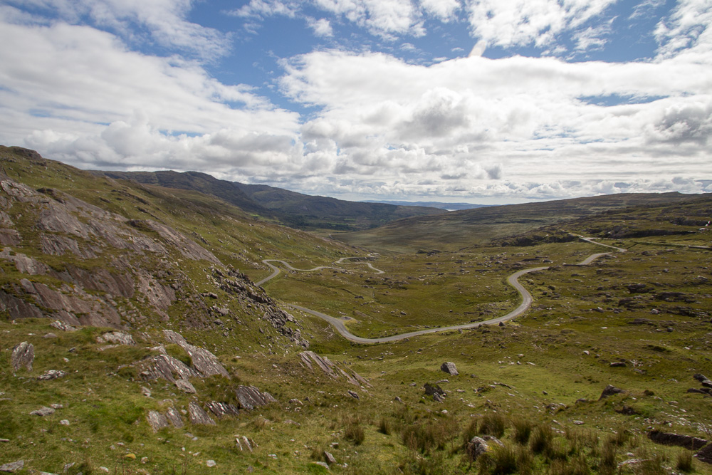
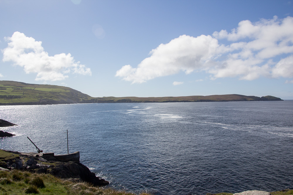
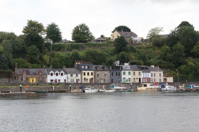
Counties Cork and Kerry in the southwest have protected many of their heritage sites and it is relatively easy to simply stumble upon a ring fort or stone circle. Sometimes, it is easier to unexpectedly find a megalithic site than it is to go looking for one! In this entry, I present some of the sites I found, several while my friends Jamie and Larry were traveling with me.


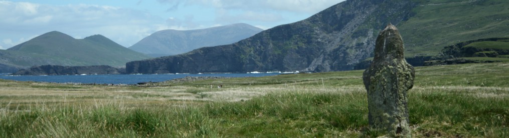
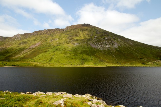
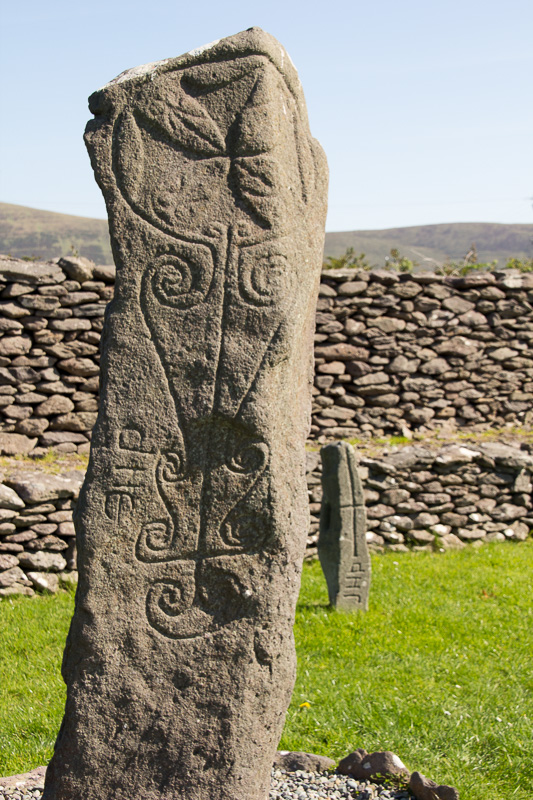
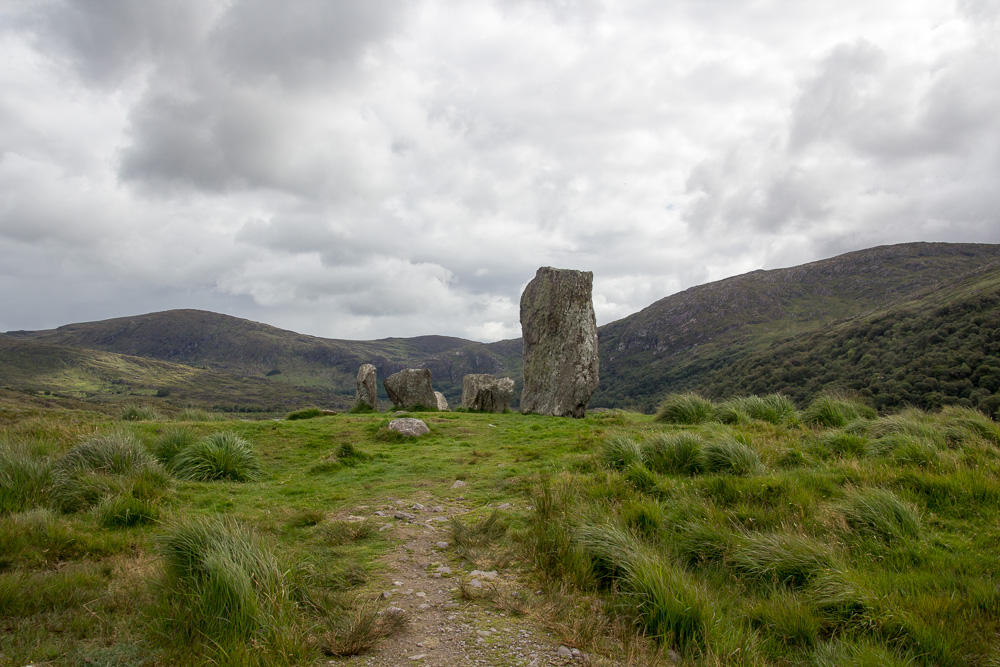
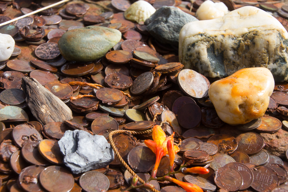
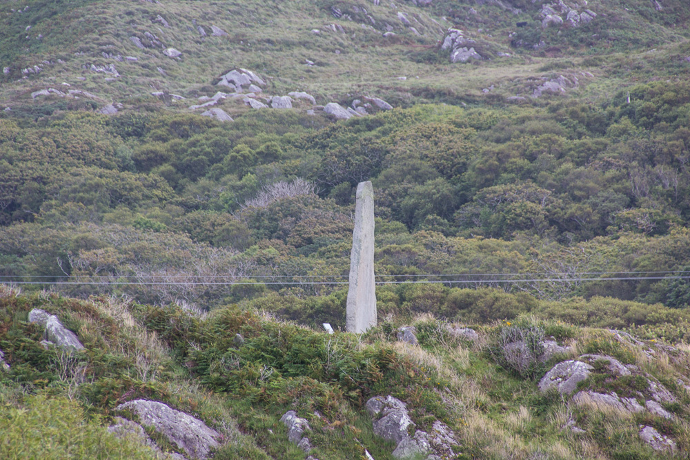
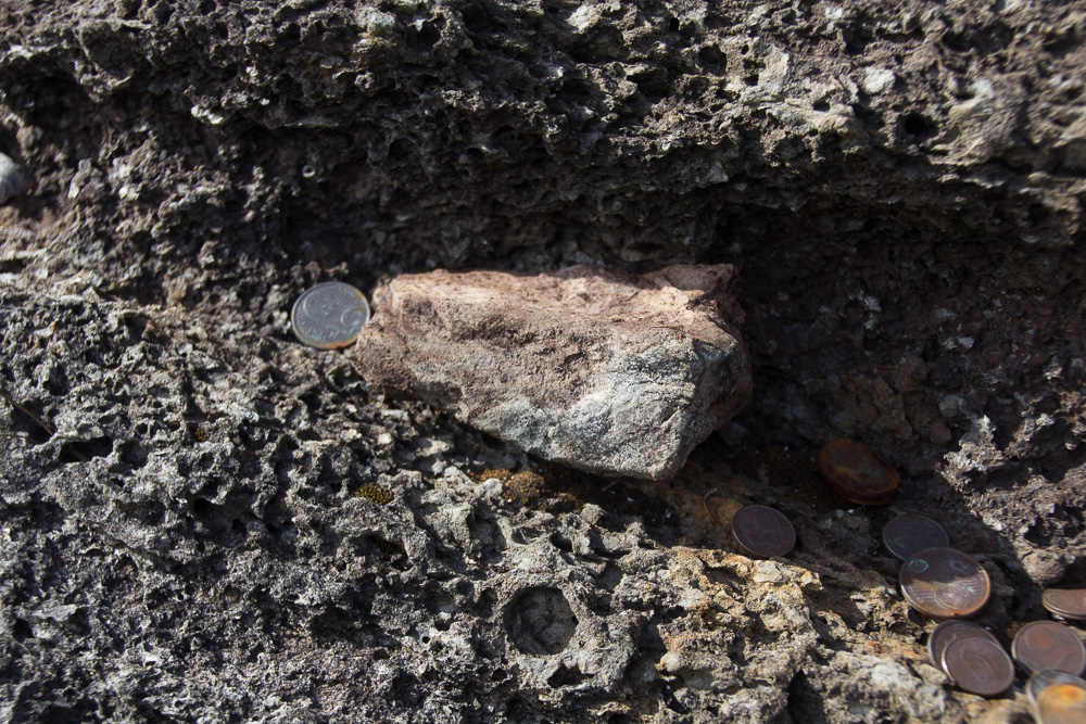
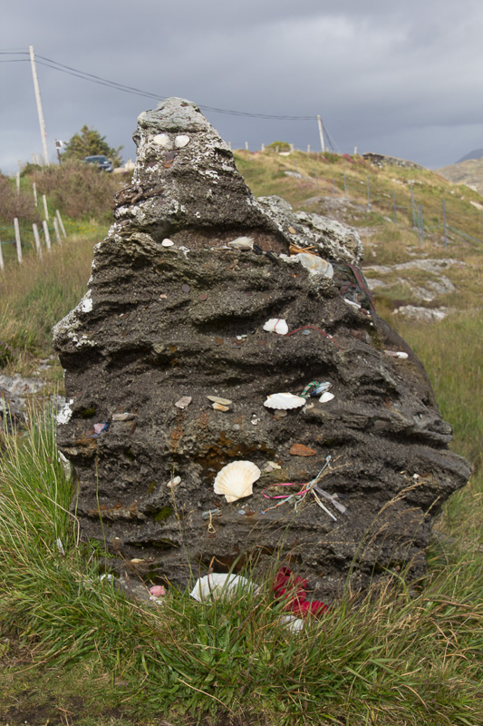
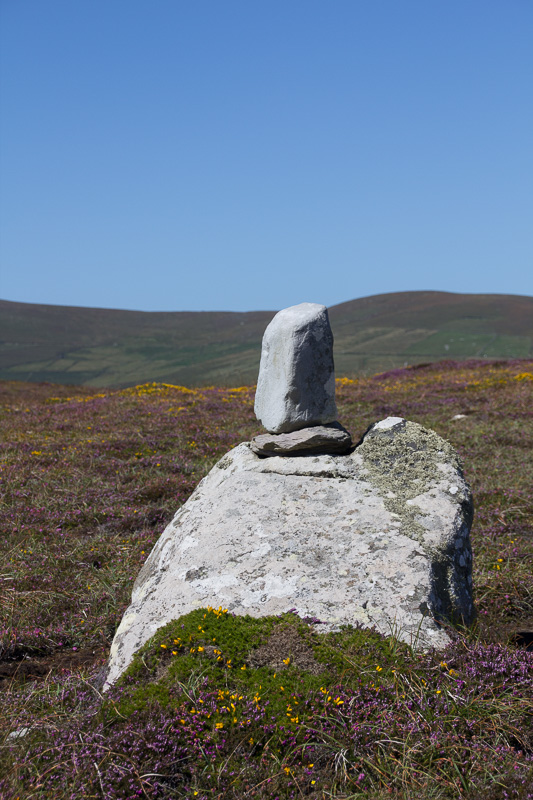
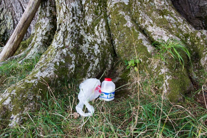
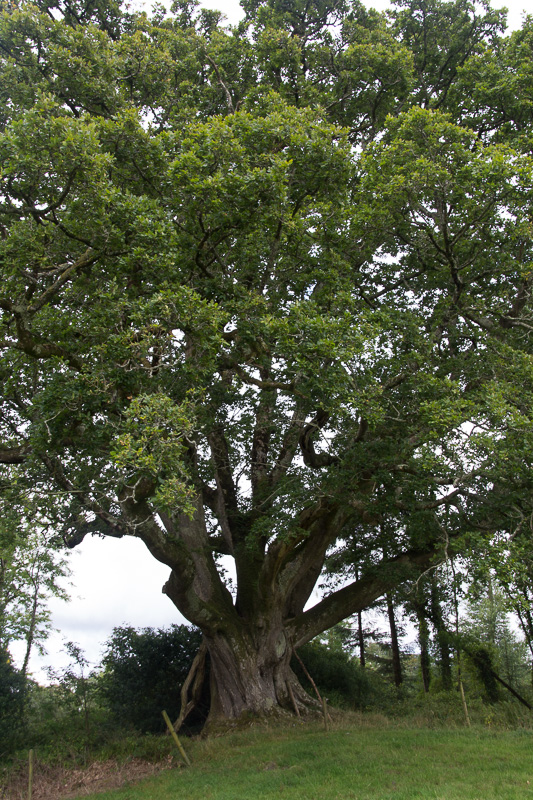
The first circle we finally located was just over the Kerry border from Cork on the northwestern Beara Peninsula. The Uragh Stone and circle is located in an off-road field between the towns of Lauragh and Kenmare. We followed the signs, and for the first time, there was a little collection box for us to make a contribution of 2 Euro each to cross onto the property, which I thought a little strange. We contributed anyway, went around the little gate, and walked up a hill to the site. The Uragh stone is 10 feet high, the circle is 8 feet in diameter, and overlooks Lough Inchiquin. In the distance, we could see a waterfall. We made our offerings of flowers and a piece of wood and then took in the experience. I felt at peace, at home, sitting on a rock up above the stone circle. I don’t understand the significance of these sites to the ancestors, but I honor them. And I appreciate that the Irish people treasure and respect these sites as well, even if some do charge an “entrance fee” to a national treasure.
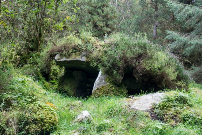
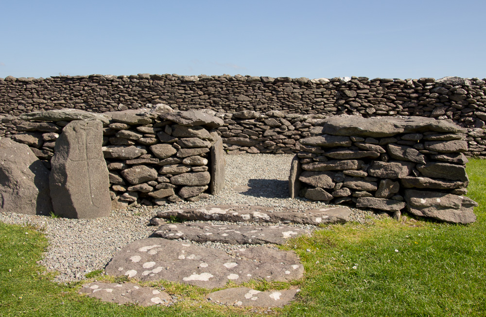
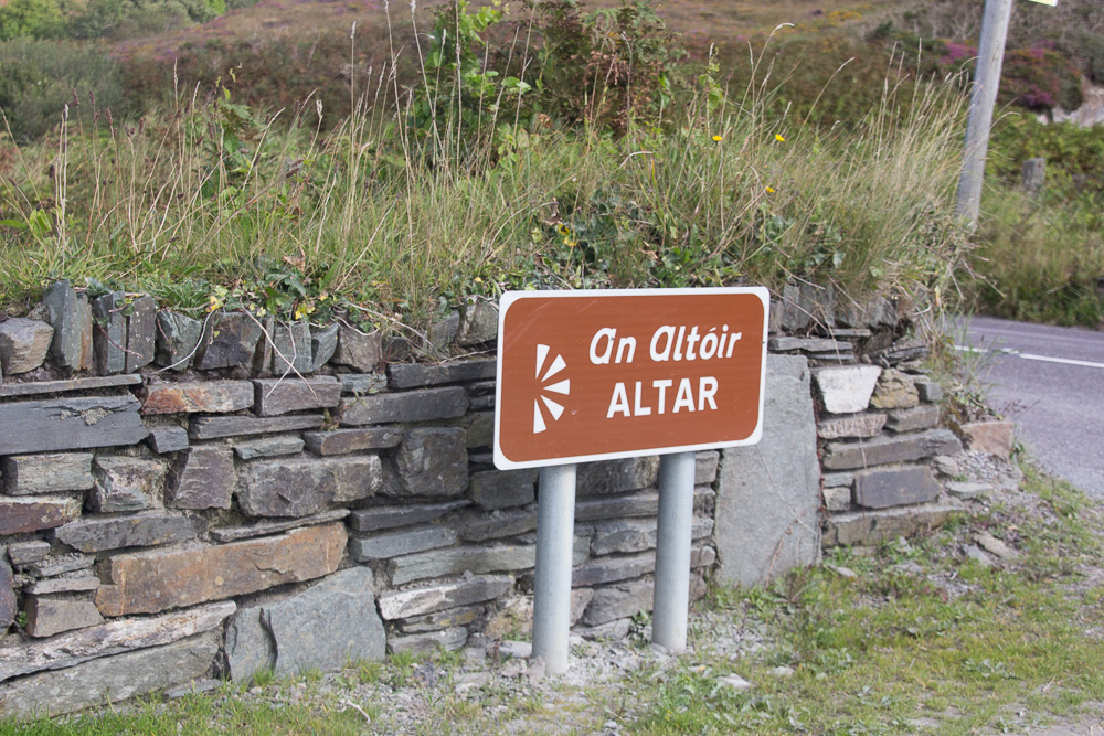
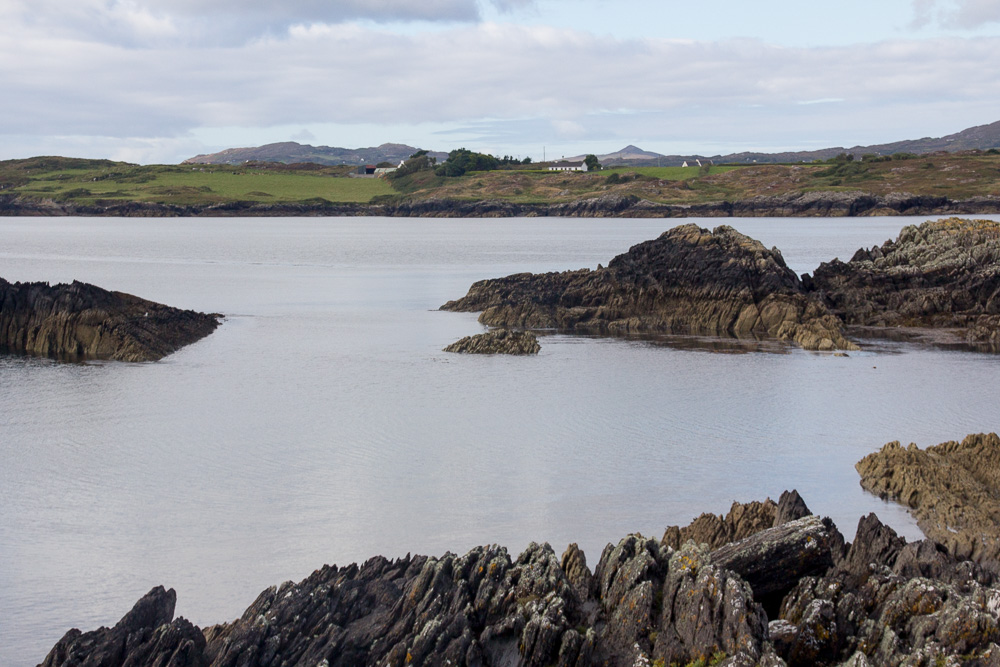
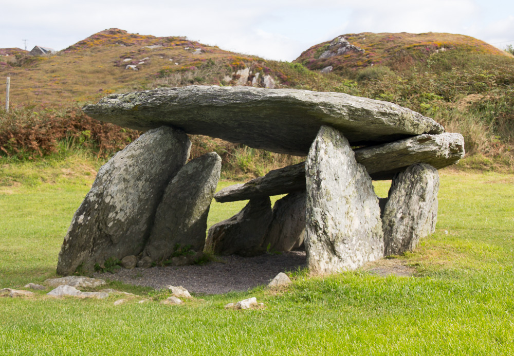
 On our way to Mizen Head, we passed a brown sign for An Altóir (Altar) just past Toormore. Stopping, we found one of the most unexpected treasures of the trip: a very well-maintained altar tomb on the eastern shore of Toormore Bay. I’m including some pictures here, but I want to also share what was written on the OPW (Office of Public Works) sign at the site:

Toorman Altar Stone
“Built from local slabs, this wedge shaped tomb is one of a dozen in the Mizen peninsula. It was first erected at the end of the Stone Age, around 3,000 to 2,000 BC, with its entrance deliberately lined up with the distant Mizen Peak. Archaeologists recently uncovered some burnt human bone which they radiocarbon dated to about 2,000 BC and believe that the tomb continued to be used as a sacred site in the centuries that followed. Shallow pits, probably with food offerings, were dug into the chamber floor in the later Bronze Age – between 1,250 and 550 BC – and Celtic Iron Age people filled a pit with sea shells and fish bones sometime between 124 and 224 AD. Whale bones were also found from this period. The ritual use of this site ended with the arrival of Christianity, but it was briefly resume during the 18th century when the tomb was used as an altar by priests who were forbidden by law to say mass in a church.”

Mizen Peak in the distance, in alignment with the Altar at Toormore.

Toormore Altar, built 2,000-3,000 BC
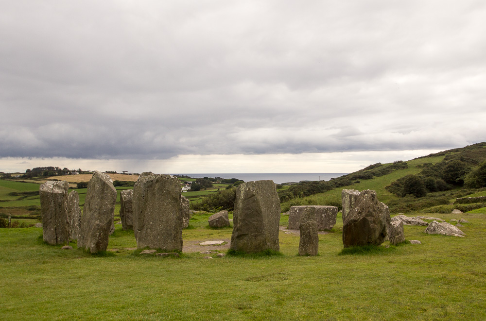
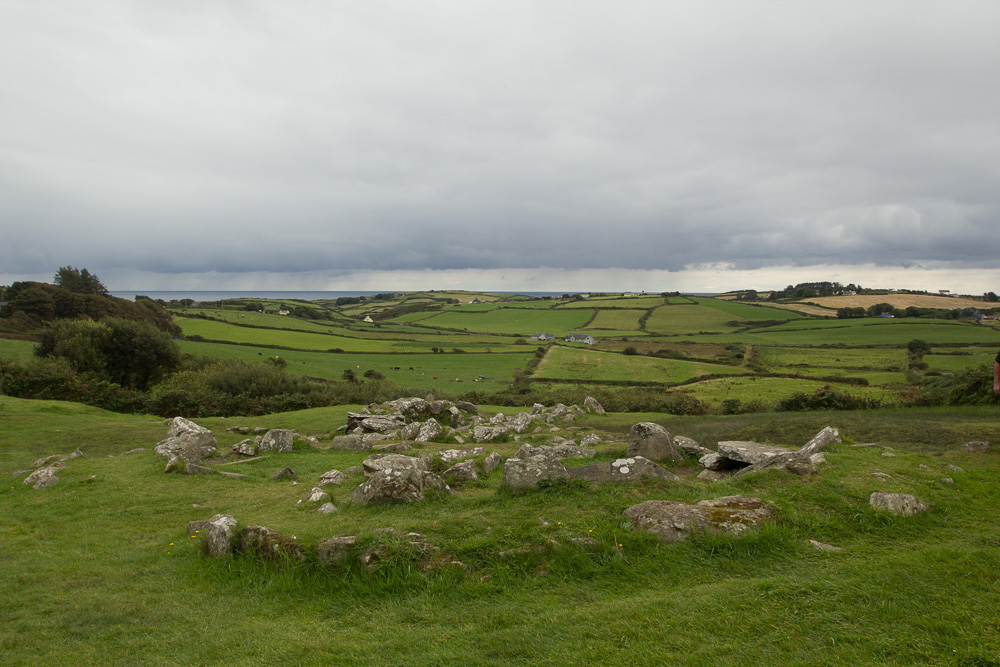
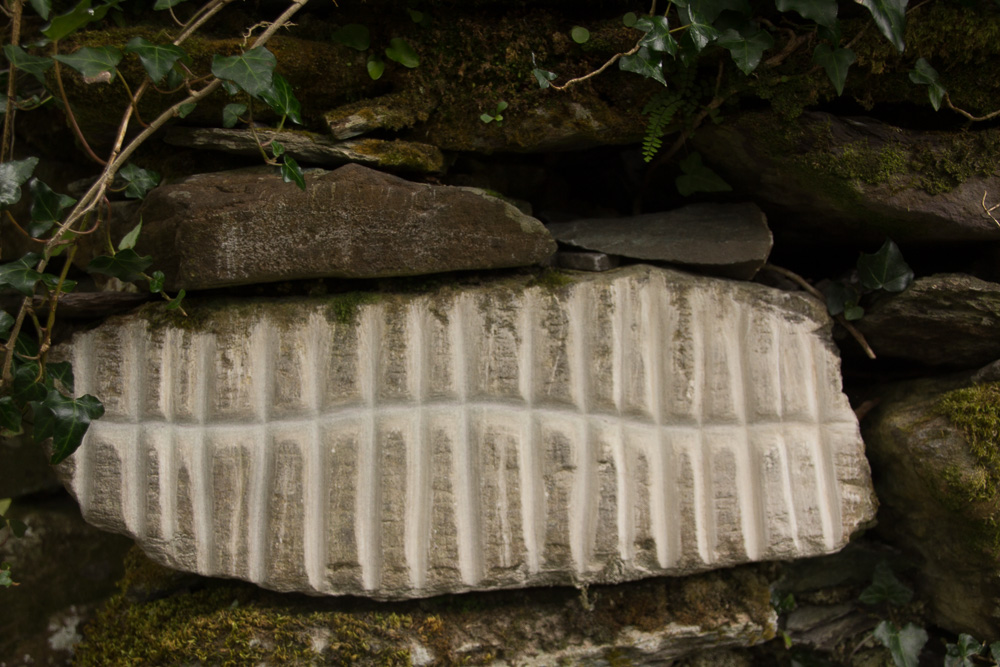
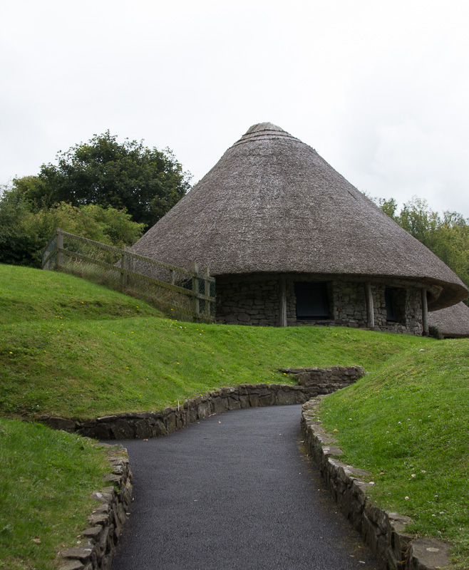
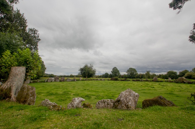
I visited two other stone circles, both in Cork. The Drombeg Stone Circle is outside of Glandore, between Skibbereen and Roscarberry. Drombeg, sometimes referred to as the Druid’s Altar, is comprised of a large stone circle with 17 standing stones and a recumbent or altar stone at the southwest.

Drombeg Stone Circle, near Glandore


Well, with water heating pit in foreground, Drombeg
The site also has remains of two round huts and an ancient “kitchen” that has a flagged trough running from it. Archaeologists believe the users could create boiling water by heating stones until they were red hot and then dropping them into the trough.

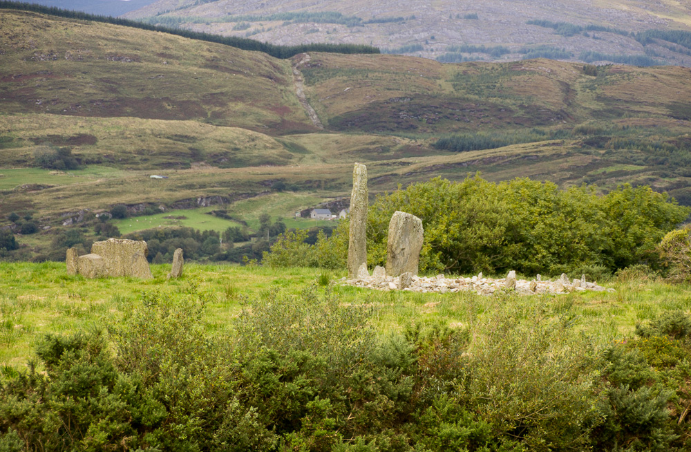
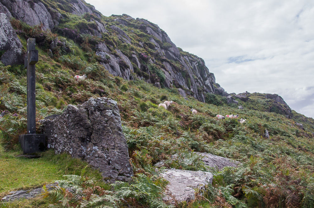
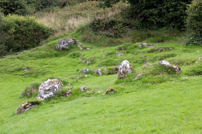
Kealkill Stone Circle

Spectacles, lower right

Kealkill Circle
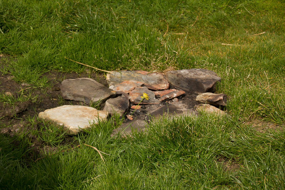
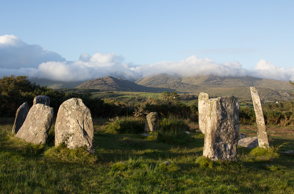
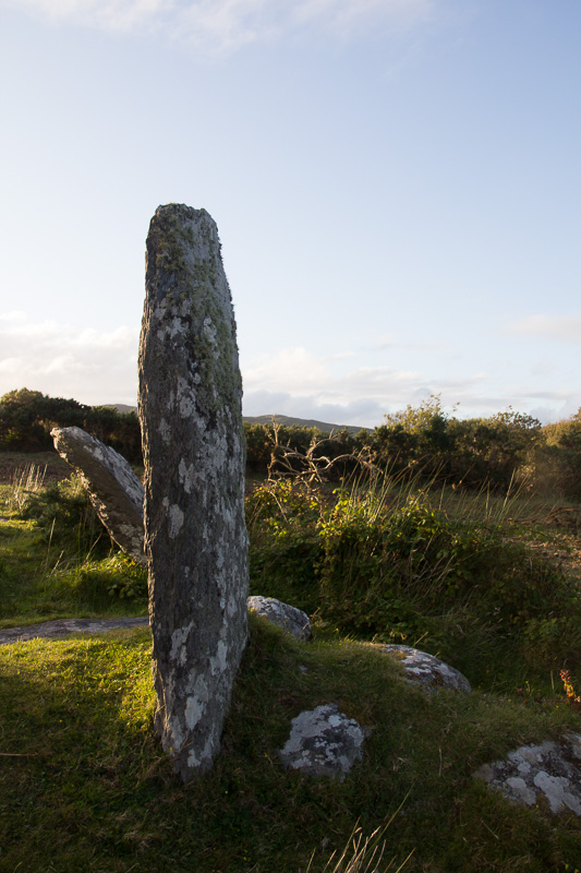
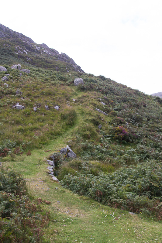
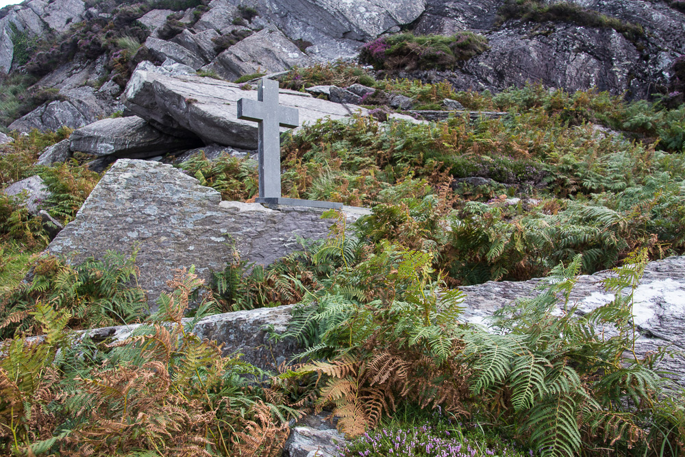
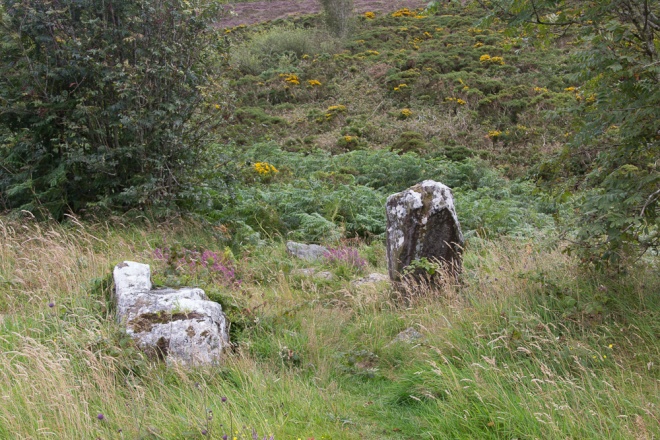
The other stone circle we found was in a cow pasture on the side of a mountain, located near the village of Kealkill. The site was truly off the beaten path, but we finally found it, and carefully navigated the boggy, muddy pasture. What a beautiful place it was though!

Kealkill, with 16 ft and 8 ft standing stones
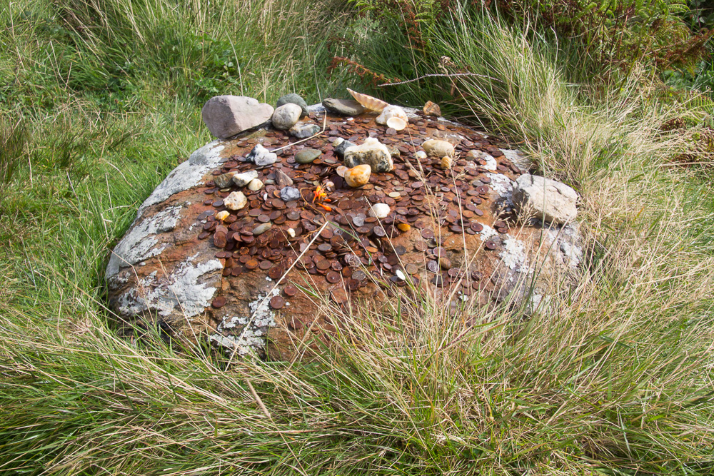
There was a small circle, comprised of five stones and a central pit where people had left offerings, including a pair of spectacles, and a larger cairn with 18 radially set stones. Lying slightly outside the larger circle were two tall stones, one 8 feet and the other nearly 16 feet tall. These ancient monuments were positioned with Bantry Bay to the southeast and the Maughanaclea Hills to the northwest. For a more thorough description of this site, click here for Mindy Burgoyne’s comments about finding this thin place.
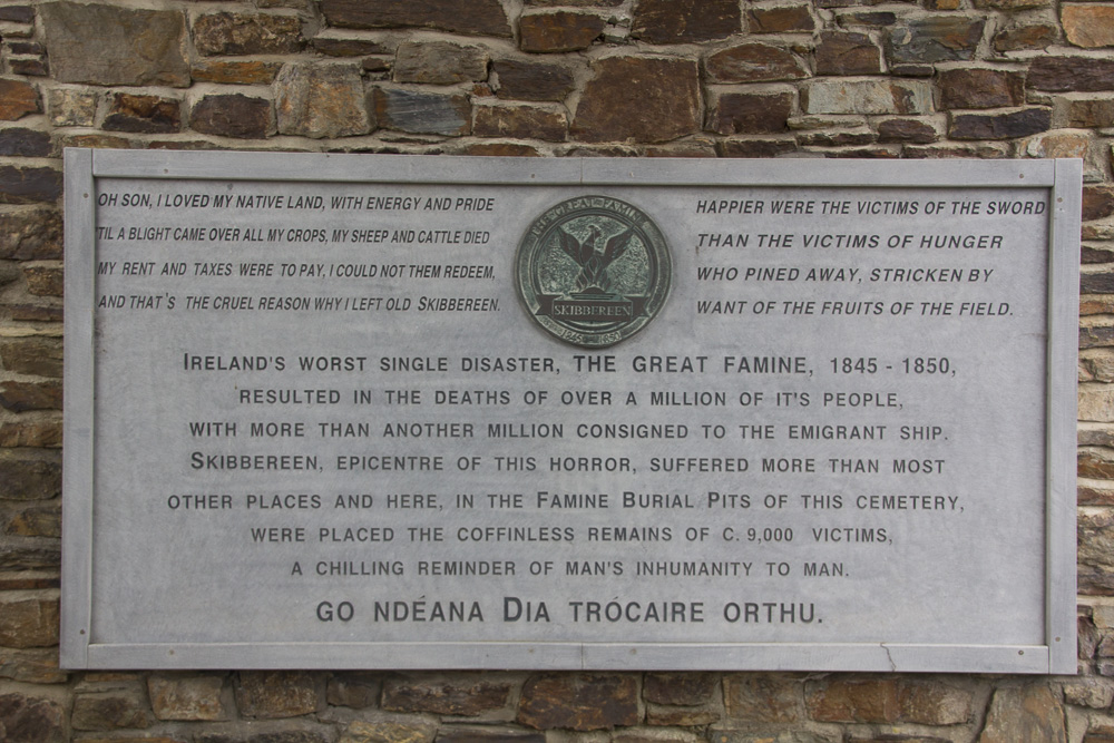
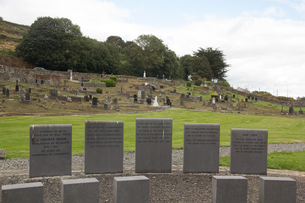
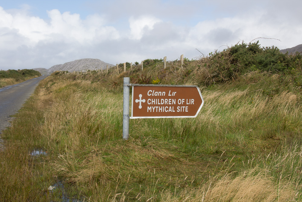
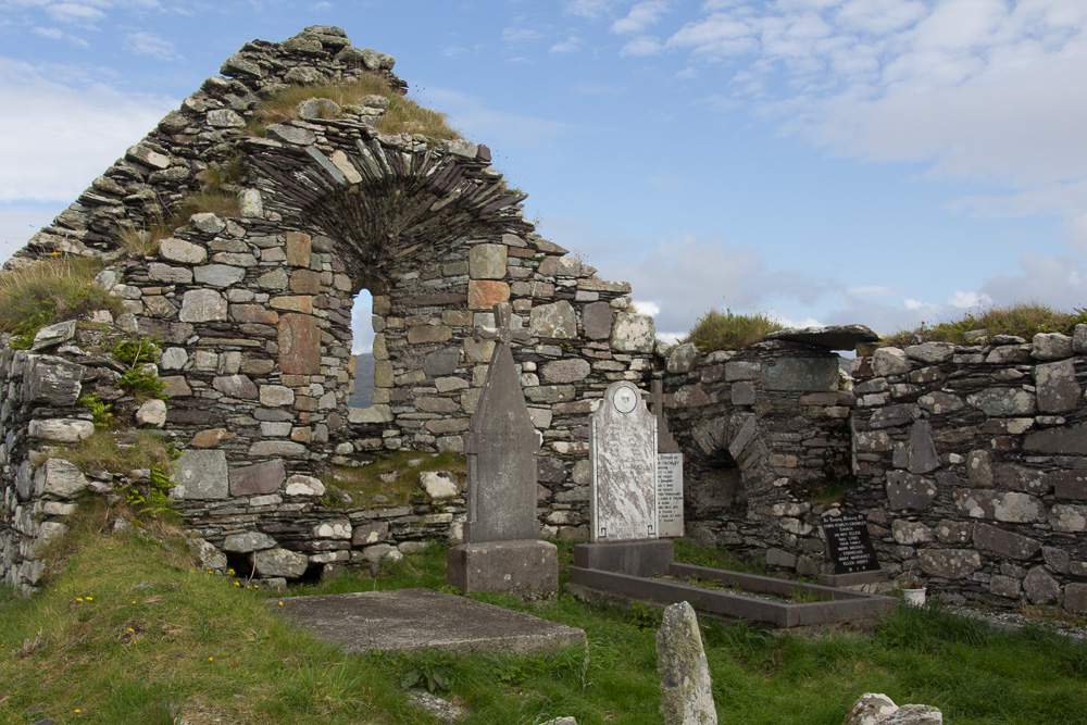
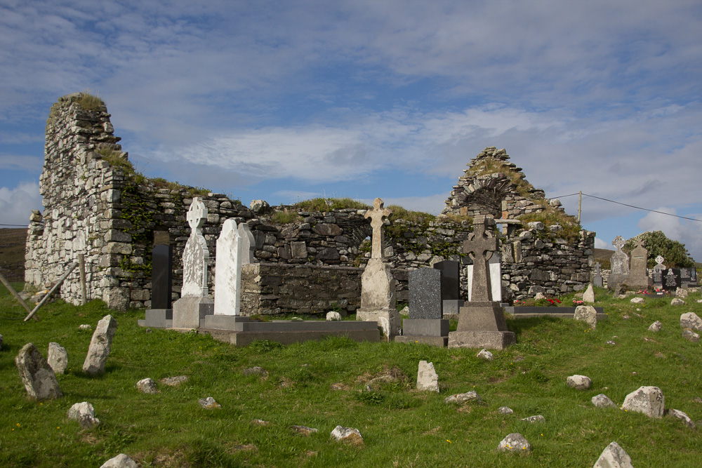
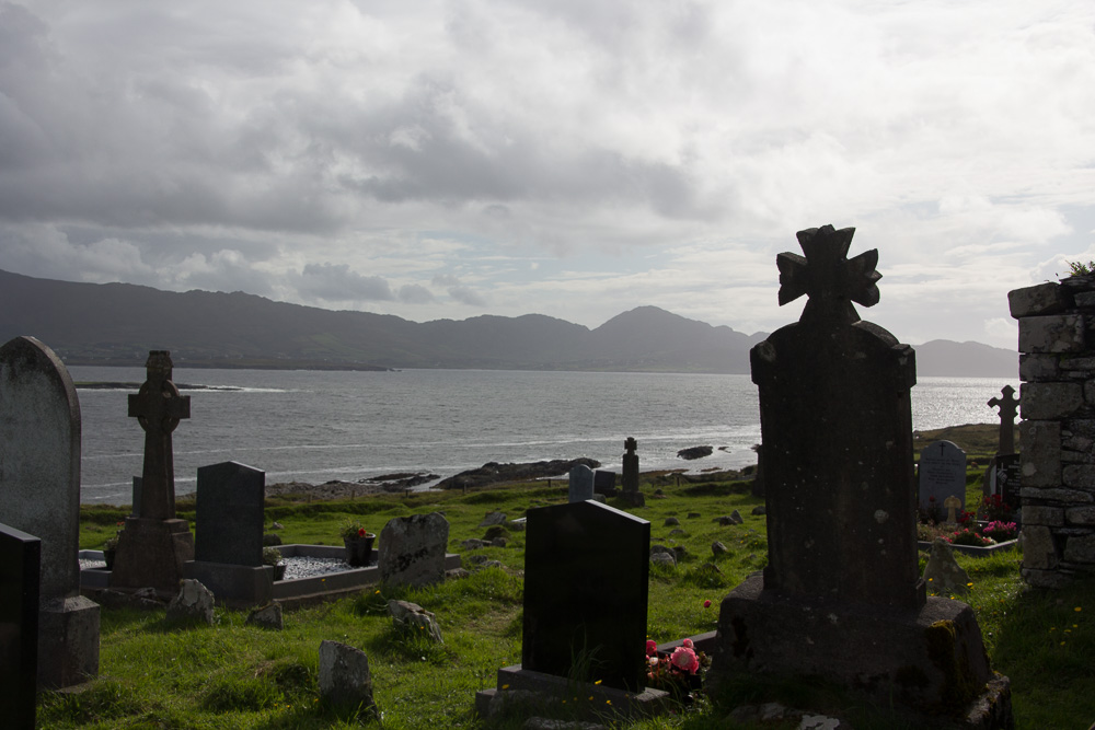
The final three sites I’m including here are Christian sites, the first two associated with St. Finbarr and St. Gobnait, and the last, the Abbeystrewry Cemetery, located outside Skibbereen. While not a mystical site, this cemetery was a thin place for me, as it is the final resting place of over 9,000 victims who died between 1845-1850 during An Gorta Mór, or the Great Hunger.

Abbeystrewery Cemetery, Mass Grave for Victims of the Great Hunger

These poor souls were buried in mass pits, covered in limestone, and placed one atop another, without name or marker. The bumpy field under which they lie is about the only green in the entire cemetery. The remaining graves are covered by brownish grass and weeds. As I walked around this massive space, my heart ached for not only those who starved to death or died of disease, but for those who survived and had to bury their loved ones and friends. This place, this entire country, retains the painful scars of those days of unnecessary hunger. It is woven into their psyche and part of their collective identity. This area is heartbreaking.  The most remarkable quote I read while I walked that sacred place was, “Here in humiliation and sorrow, not unmixed with indignation, one is driven to exclaim, O God! That bread should be so dear and human flesh so cheap.”

St. Gobnait, Patroness of bees and beekeeping. Note the hive and bees on her shrine.
In the village of Baile Bhuirne or Ballyvourney, I found the place of St. Gobnait, an Irish female saint. She lived in the 6th century and was once a follower of St. Finbarr (discussed below). Gobnait, according to legend, was looking to establish a church and was visited by an angel who told her to locate her church where she found nine white stags, and the ruins of this church are still located in Ballyvourney.

The grave of St Gobnait, Ballyvourney

St. Gobnait’s Church

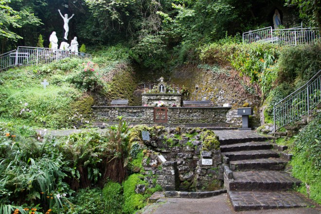
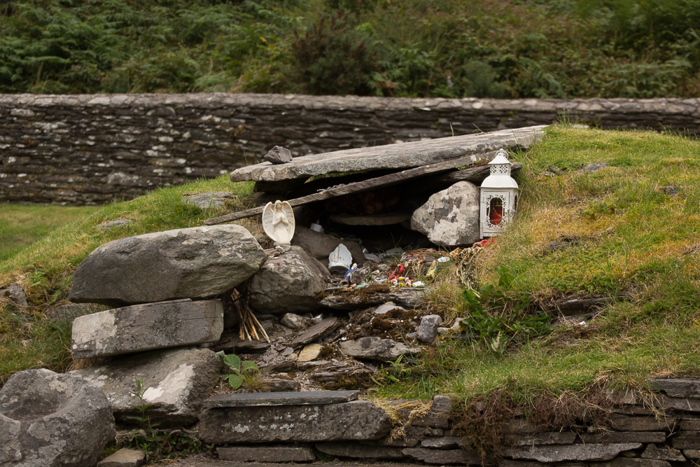
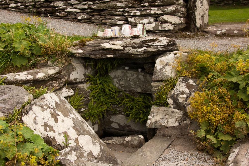
The well of St. Gobnait
Also here is a large shrine to St. Gobnait, her grave, and a holy well. St. Gobnait is associated with healing and fertility, and is the patroness of bees and I heard one story that Gobnait used honey in healing. Interestingly, bees and a beehive are carved in her statue. At the far end of the cemetery, was a stile crossing the wall that led to a beautiful forest trail. I spent 90 minutes at this peaceful place and encountered five other pilgrims, one of whom was fervently praying the Rounds. I dipped a cup in the holy well, took some water, and bid farewell to Gobnait.


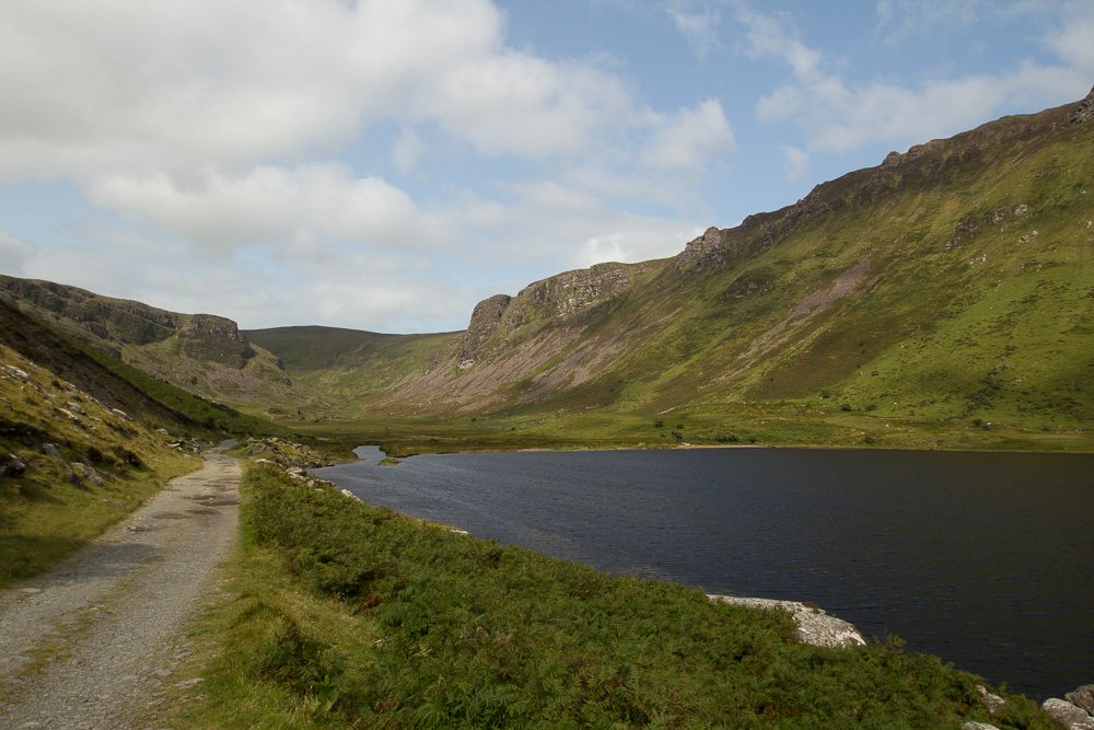
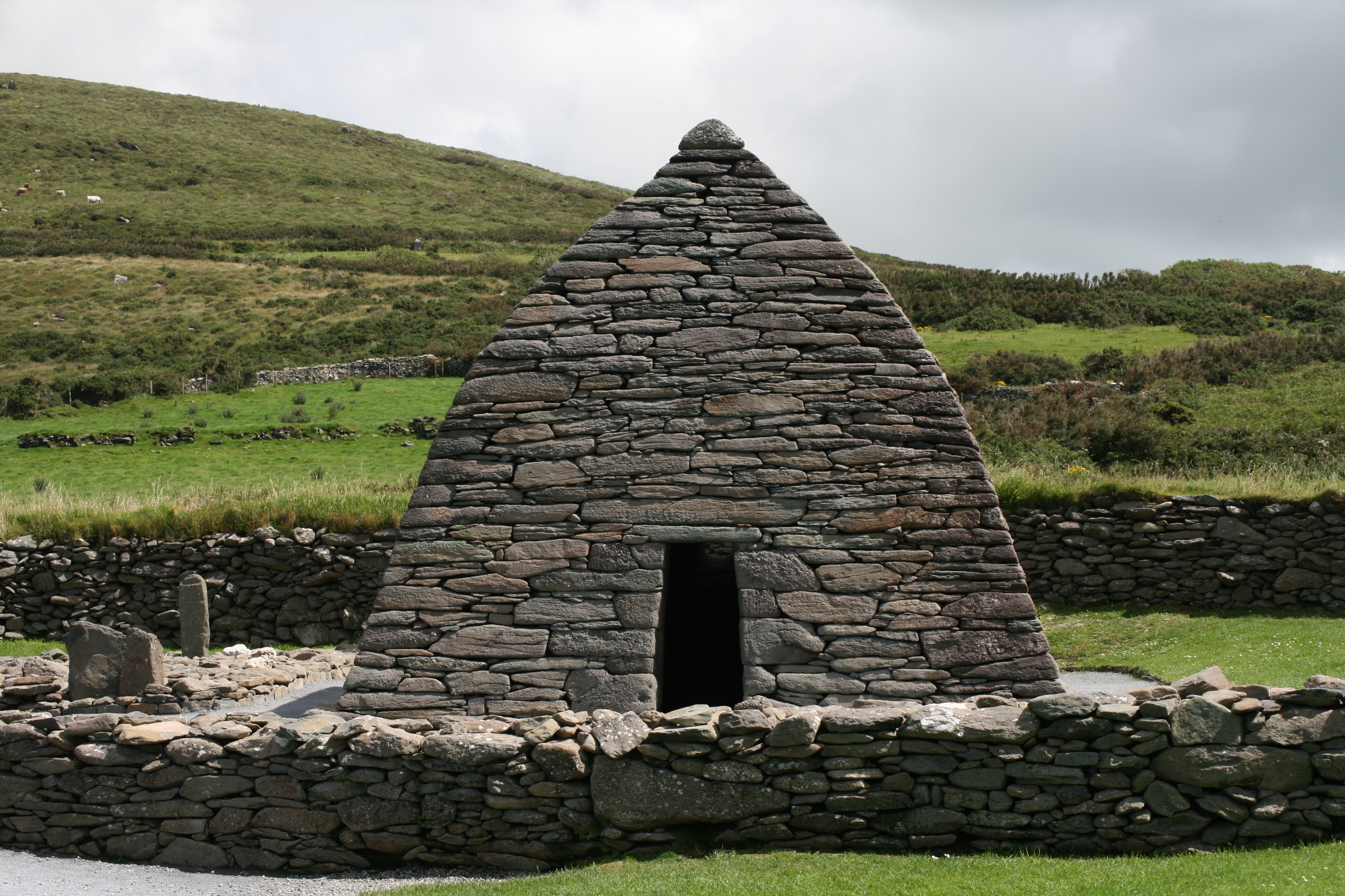
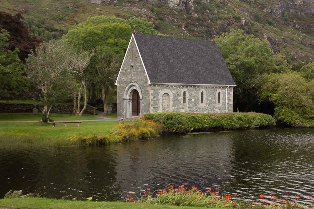
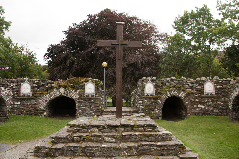
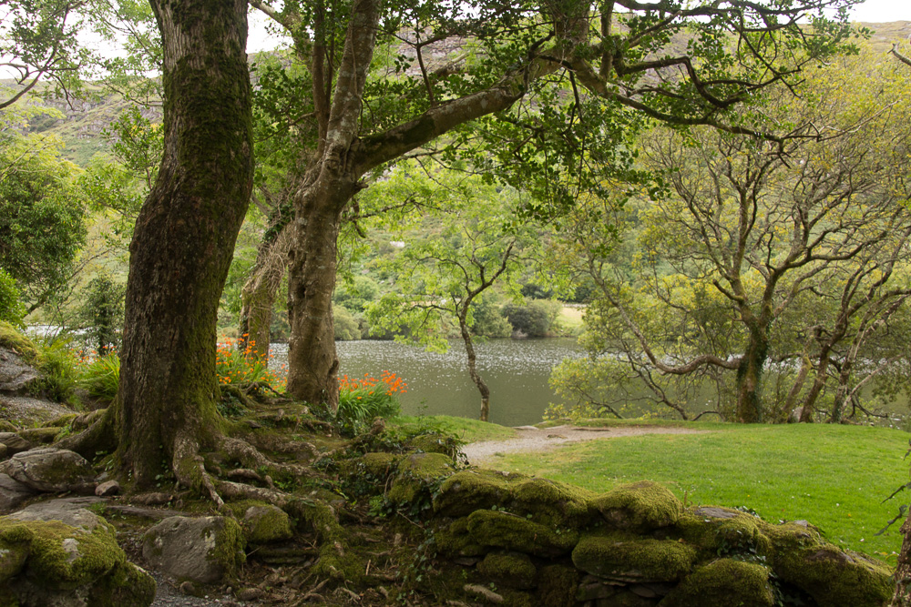
Finally, Gougane Barra, north of Ballylickey, is a truly sacred place and I think one of my favorites so far. Founded by St. Finbarr in the 6th century, Gougane Barra was built on an island that has since been made easily accessible to pilgrims. Behind the iconic oratory or chapel, is a large area with the Stations of the Cross carved in stone and stone cells where the monks prayed. Remains of a small building where nuns lived are also located behind the oratory, and face a beautiful lake. A holy well lies immediately inside the gates. Throughout the site, multiple crosses have been etched in stones by visitors, something I’ve observed at other sites. Walking through the grounds, entering the chapel, visiting the cells and stopping at the Stations of the Cross, I felt a peace that some say “passes understanding.” This was a holy place; a sacred place; a thin place.


For me, thin places are not limited to the mystical, Druid, or Celtic traditions. Thin places are also spiritual places. These thin places touch my soul and remind me I am not isolated nor insignificant, but connected with others, always, present and absent.

Stones etched with crosses, at Gougane Barra above, and St. Gobnait’s below