
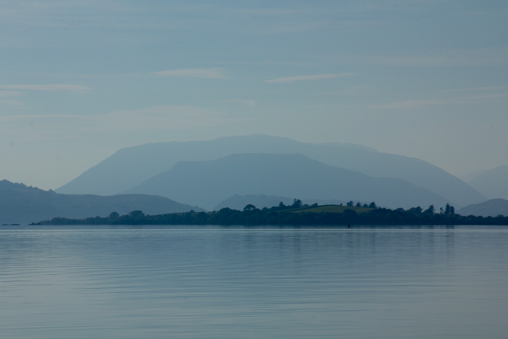
Mountains of Connemara from Lough Corrib
County Galway, south of Mayo, stretches from the Atlantic Ocean, eastward to the Midlands, and has the greatest number of Gaeltacht areas, or Irish-speaking areas in the country. This is the home of Connemara, made famous by films such as the classic, “The Quiet Man,” with John Wayne and Maureen O’Hara, and “The Field,” starring Richard Harris and John Hurt.

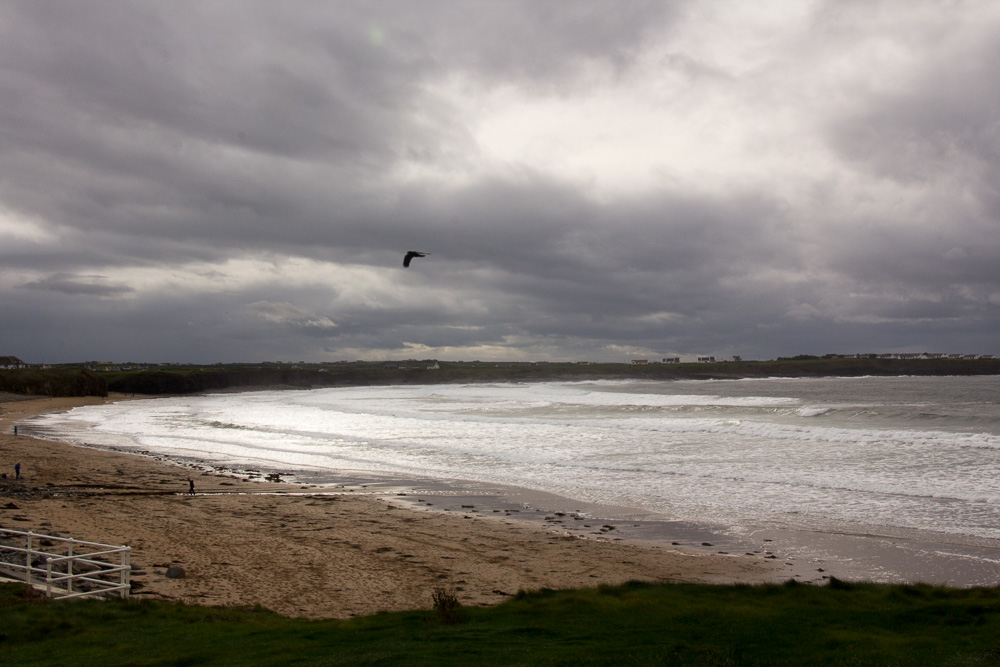
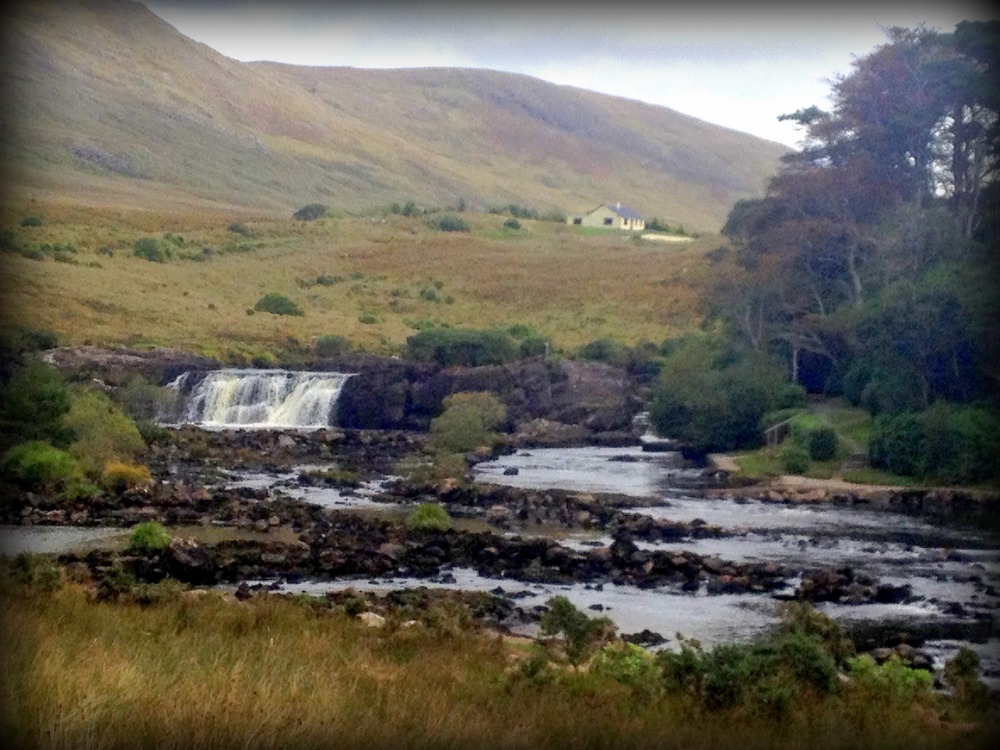
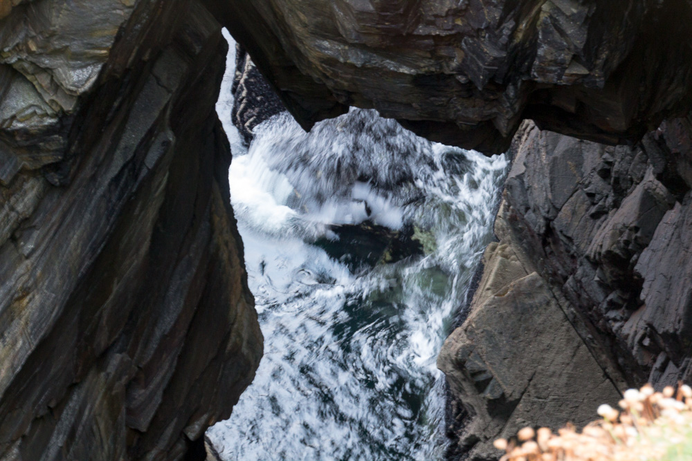
Aasleagh Falls, actually in Co Mayo, but on the border with Co Galway. A famous scene from “The Field” with Richard Harris was filmed here.

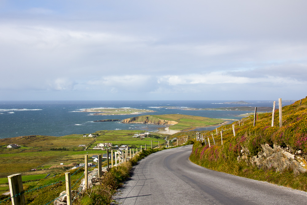
Upper Sky Road, outside Clifden
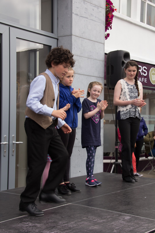
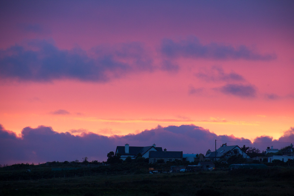
I arrived in Clifden, on the coast, during the annual Arts Festival and the town was bustling with activity: concerts, readings, art walks. It was lively, and a little hard to find some thin places here, so I headed for the coast. The Sky Road is a fantastic, albeit narrow, little drive. There are actually two roads – the Upper and Lower Sky Roads, and this visit, I drove the Upper one and was fortunate to have sunny, clear skies.
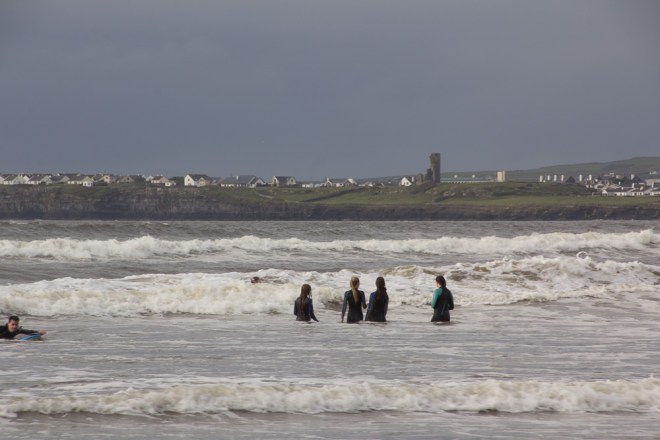
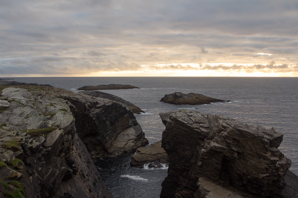
From the Sky Road, I went north to Omey Island, a tidal island that is crossable at low tide from Claddaghduff Quay. As luck would have it, I arrived at low tide, but didn’t think it a good idea to drive my rental car across the sand, so I walked.


Interestingly, there are signposts marking the way, just in case there was any question of where to cross. The island’s school closed in 1973, and no one is left now. It is yet one more place here in Ireland where time has stood still.

Diamond Hill, Connemara National Park
The main entrance to the Connemara National Park is in Letterfrack, just a few kilometers northeast of Cleggan and Omey Island. Trees here are just beginning their autumnal transition, and the weather, while a little damp, was still mild enough for a nice walk up Diamond Hill. There are three loops of varying distance, and I wisely chose the shortest route since rain moved in just as I was coming back down the trail to the car park. Had the weather been better, I would have hiked higher up the mountain.
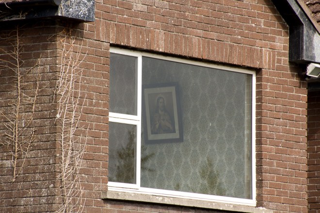
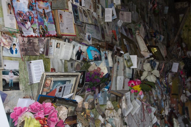
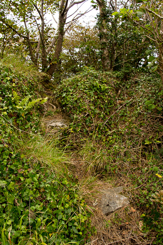
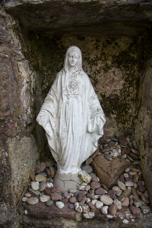
On my way back to Clifden, I saw a roadside holy shrine. Located near the Letterfrack Pier, the grotto is actively in use, as people were present when I first passed by, despite there not being parking available. This site is less accessible than most I’ve visited, and the precarious path to the top was steep and uneven.


Rosaries, statues, flowers, and other offerings were left at both the main shrine and the statue of Saint Patrick. I continue to marvel at the faith of people who come to these out-of-the-way places and I admire their devotion. A little bench under the trees provides a quiet place of refuge, despite the close proximity to the highway.


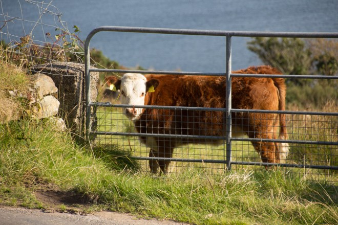
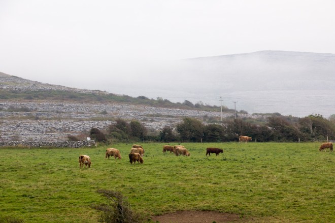
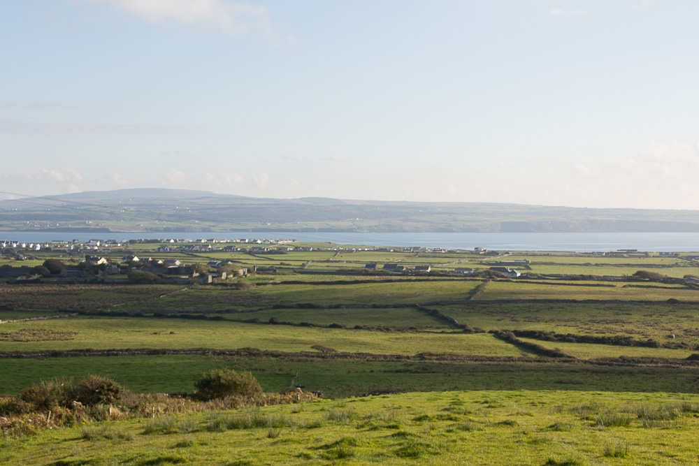
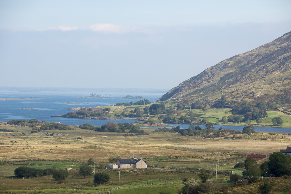
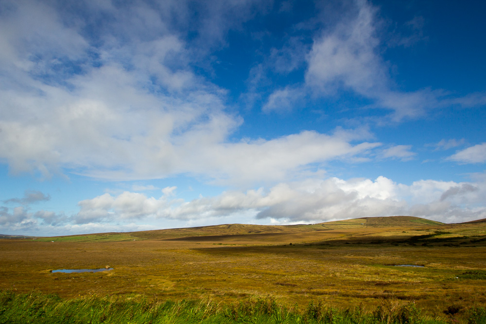
Someone had recommended the small village of Cashel, in Connemara, to me. I drove south from Clifden on the R351 until I came to a local road that went due east. The R351 makes a loop from Clifden, down to Roundstone, and then back up again to Cashel, but the local road goes straight across a bog. Several loughs are here, with names like Lough Fada, Beaghcauneen, Cloonagat, and Conga, but there isn’t a way to access them because of the bogs. In the 30 minutes while on the local road, I only met two cars. There are no houses, no trees, and even the sheep are sparse here. This is a lonely place.

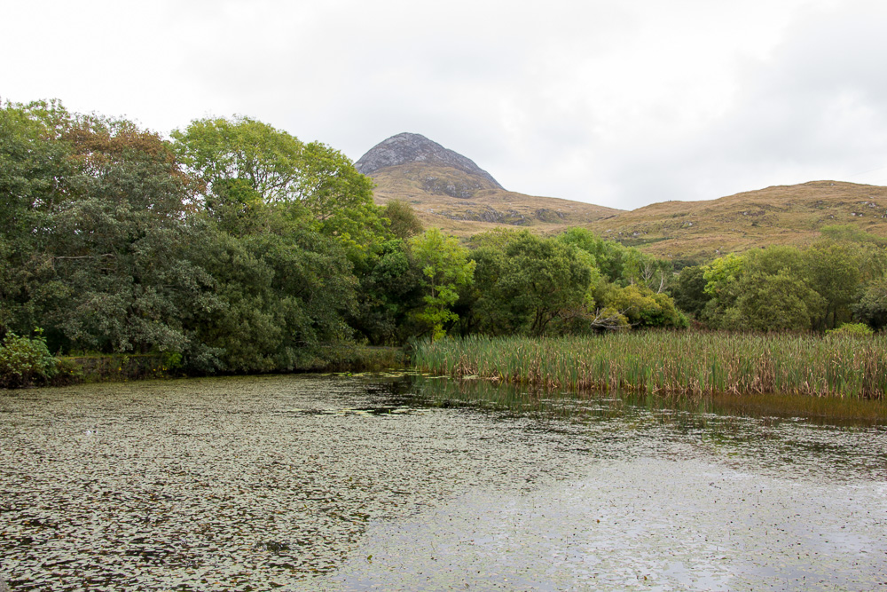
Connemara Bogs above, and the Twelve Bens below

The Twelve Bens (sometimes called the Twelve Pins), are the mountain peaks of Connemara. Ben is one of the Irish words for mountain; sliabh is another. Connemara is both mountainous and boggy, on the sea and on lakes. I think the light in Connemara is different from light anywhere else in Ireland, perhaps in part because of the presence of the Twelve Bens.
On the far eastern side of Connemara lie the towns of Cong and Clonbur. Cong, made famous by the John Wayne, Maureen O’Hara movie, The Quiet Man, is a little touristy but still has a nostalgic charm about it. Ashford Castle, originally built in 1228 and now a five-star hotel, is also here and some scenes from The Quiet Man were filmed on the Castle’s property. Cong is nestled here, where the River Cong flows into Lough Corrib, the largest lake in the Republic of Ireland.

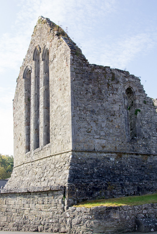
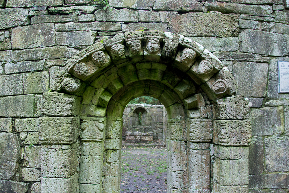
Cong Abbey


Ashford Castle
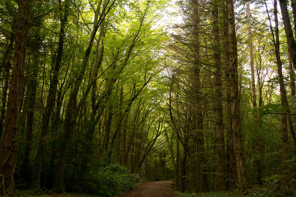
Between the town and Ashford Castle, is Cong Abbey, and beyond it, Cong Woods. The forest’s deep mossy green is lush and thick, and the quiet is just as intense. I walk the path and nothing stirs. I see no animals, hear no birds. I am alone, surrounded by denseness: of woods, of air, of my thoughts. This is a place where one goes to walk and think.


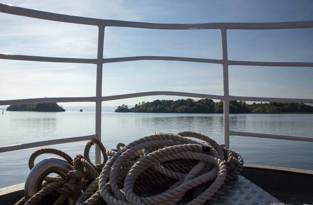
 From Cong, I went by boat to Inchagoill, or Inis an Ghaill Crabhthigh: the Island of the devout foreigner, one of the 365 islands in Lough Corrib. Inhabited until 1946, Inchagoill is another place where time has seemingly stopped. Click here, for more information about Inchagoill.
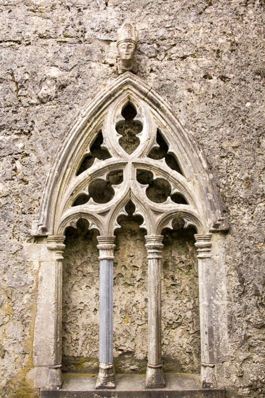
Despite being among a large herd of tourists (which reminds me why I prefer to travel alone or in small groups), I wandered off to be alone among the ruins of two churches, one the Church of St. Patrick, c. 6th century,

Saint Patrick’s Temple
the other, the Temple of the Saints, c. 8th century. The forestry service has begun clearing some of the trails on the island, and while more convenient to traverse, I wonder how it will change the environment if more people visit this special place.

Temple of the Saints

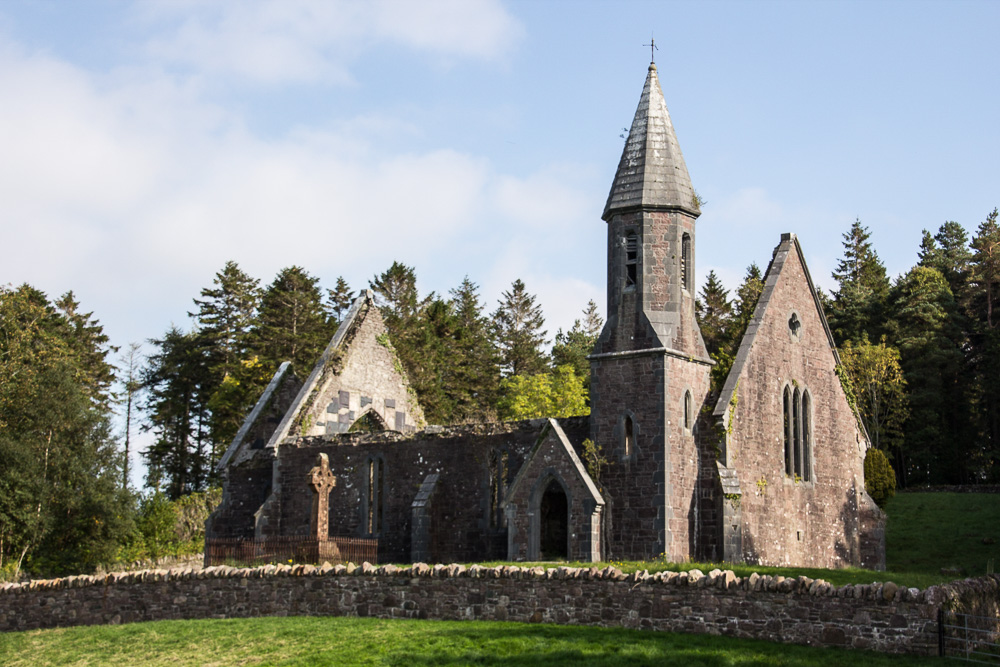
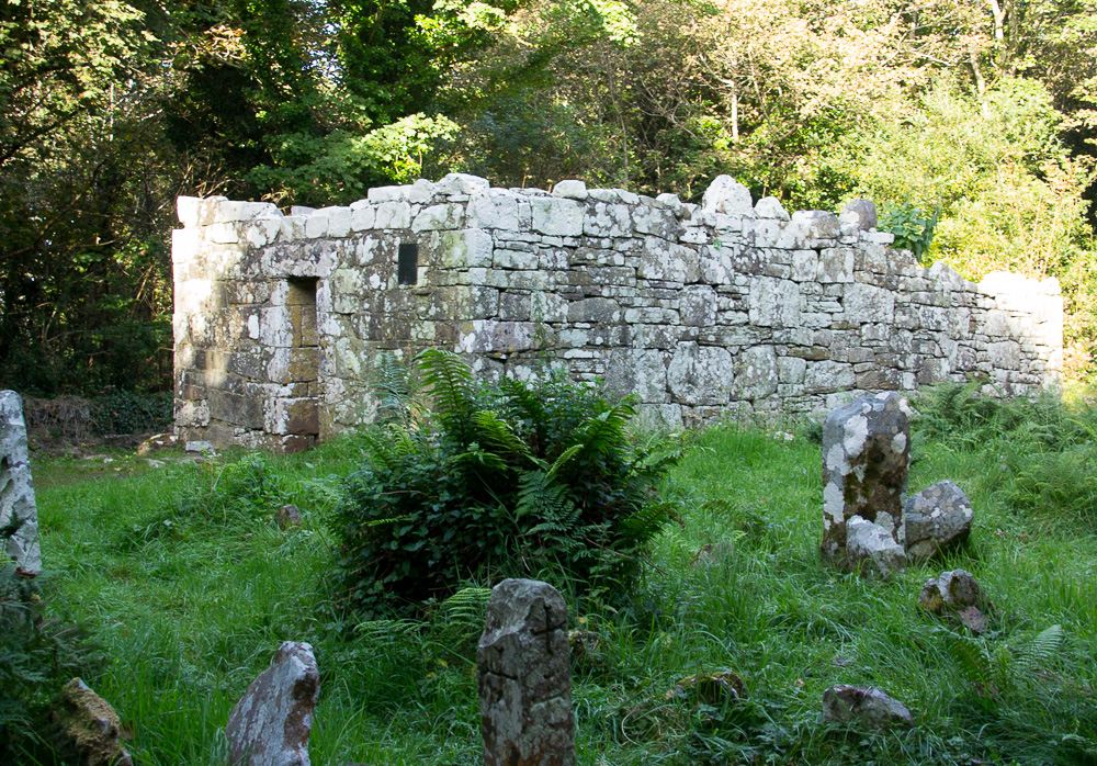
East Galway is home to several monastic sites, and in addition to Cong Abbey, I visited the Ross Errilly Friary, near the town of Headford. Built in 1351, it is reputed to be the best preserved medieval site of its kind in Ireland and has National Monument status. I’ve visited many monastic sites but other than the Rock of Cashel in County Tipperary, this friary seems the most massive with intact cloisters, and numerous rooms, many covered with grave slabs.

Ross Errilly Friary

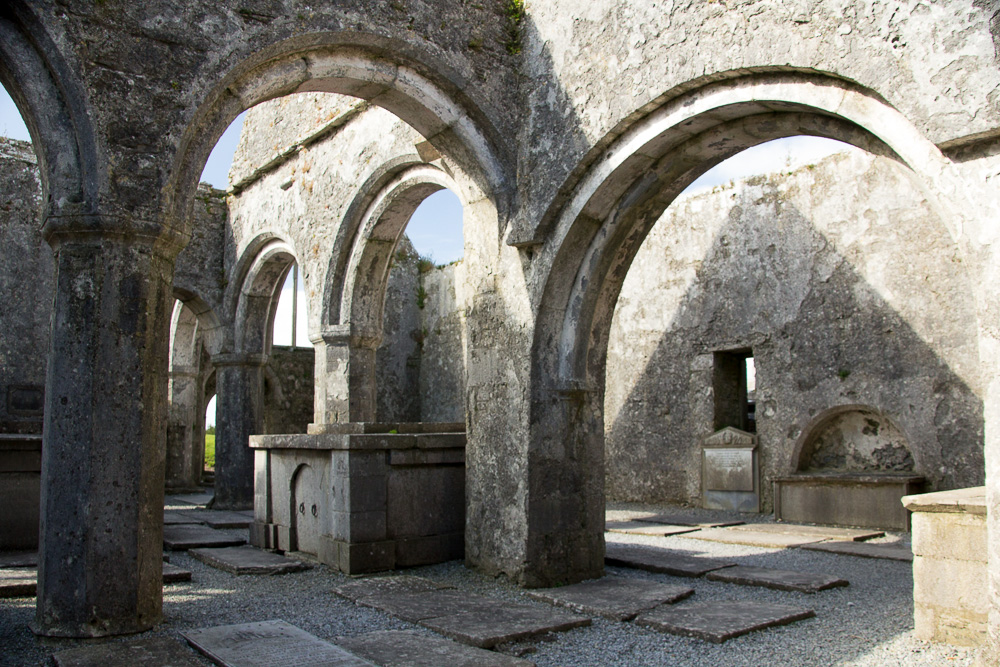
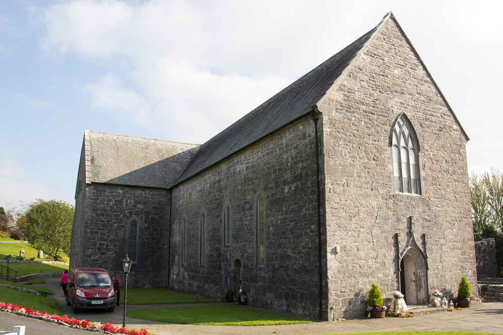
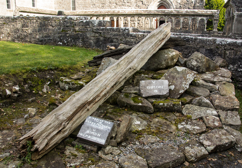
I think my favorite monastic site to date is Ballintubber Abbey seven miles south of Castlebar. The graveyard at Ballintubber marks the beginning of the Tóchar Phádrai, the ancient pilgrim pathway to Croagh Patrick. Built 800 years ago, the abbey itself is still in use today. I arrived just as a wedding ended. The abbey survived Cromwell’s attacks in 1653 and served Celebratory Mass for 785 continuous years. History just oozes out of this place!


After the wedding party departed, I meandered through the graveyard, ruins of the original abbey, and entered the church. The outdoor Stations of the Cross, however, were the most interesting aspect of Ballintubber, as the images of the Way of the Cross are constructed from native materials. I’m only including a few photographs of the images here, but I thought this an ingenious use of local stone and wood in this special holy place.


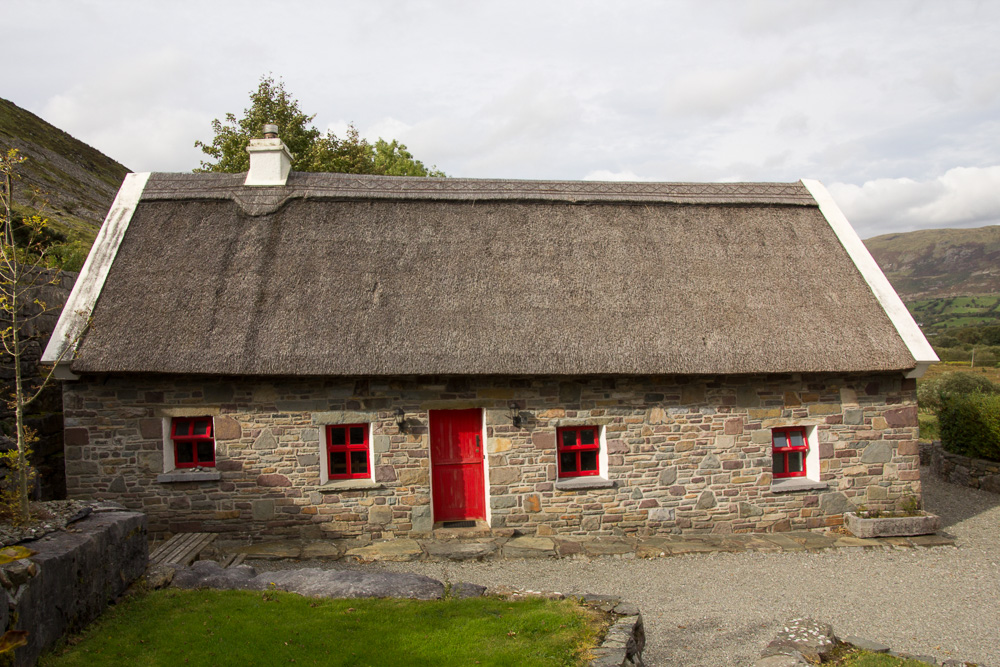
To close on a personal note, I spent a week outside of Clonbur at this adorable little cottage, complete with half door, stone walls and floors, and thatched roof.


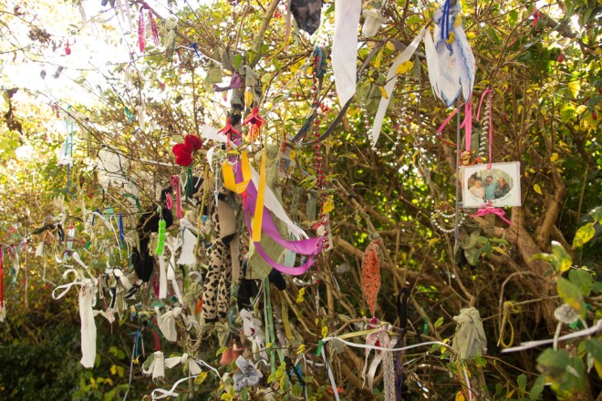
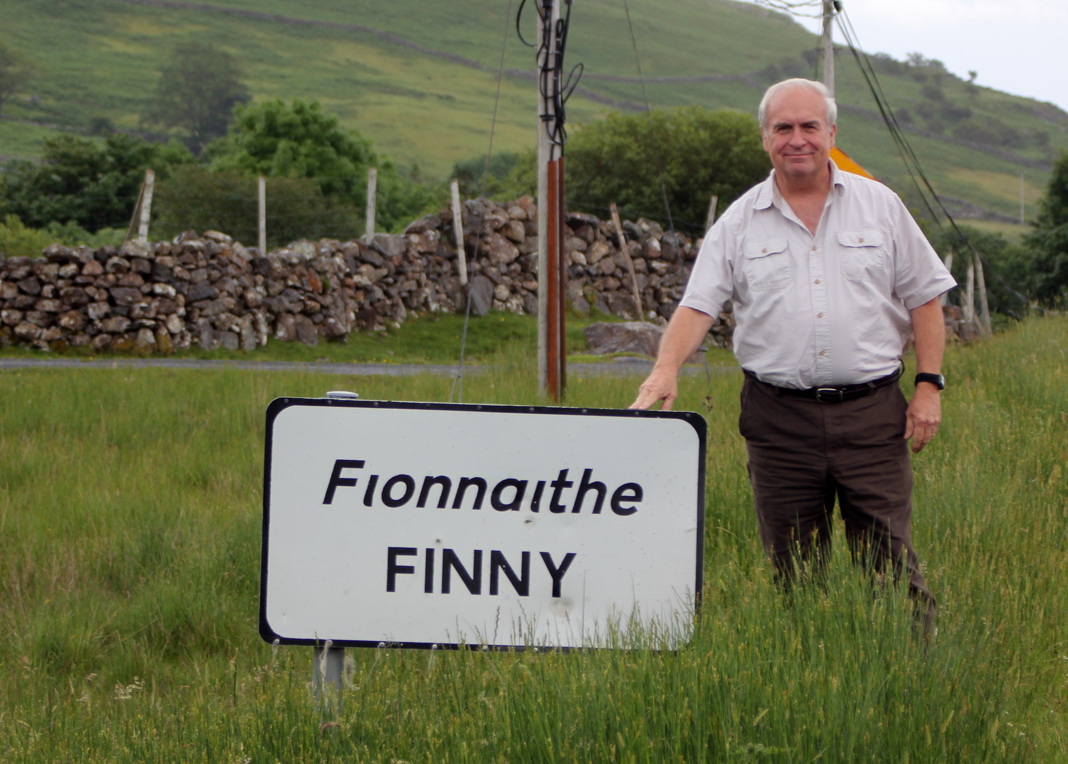
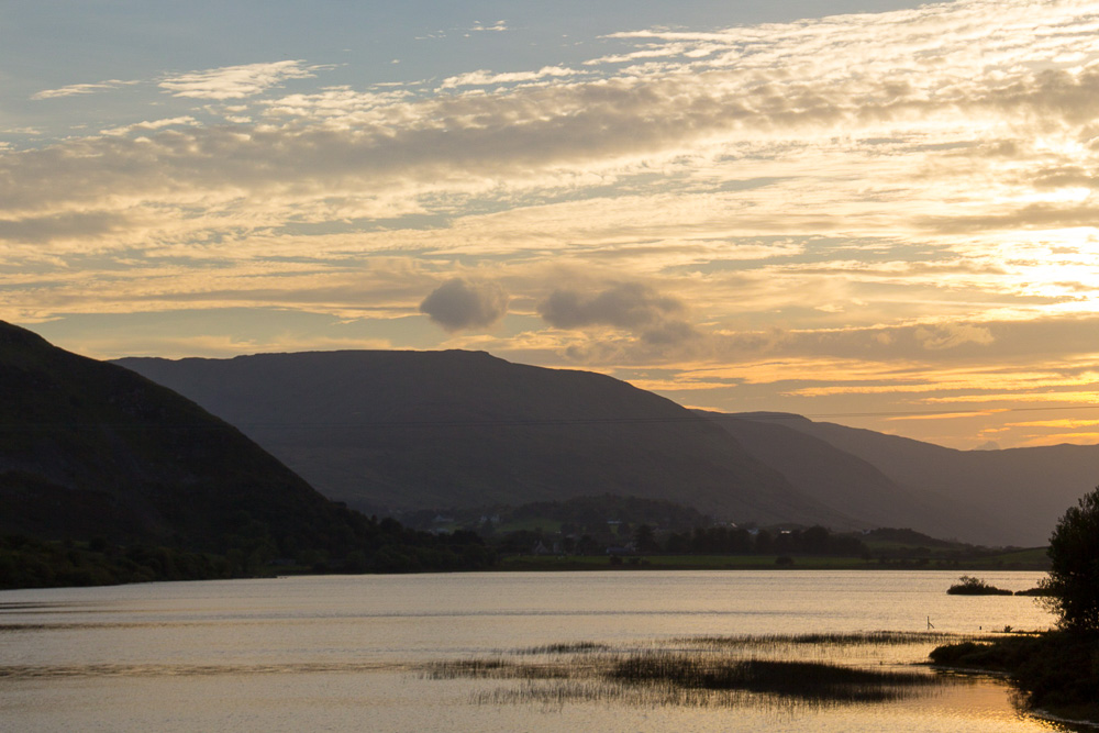
It was an absolutely perfect place, in part, because it was just up the road from the village of Finny, which is actually in County Mayo, but that we believed was the area from where Jerry’s ancestors came. Daily, I went to a little spot near the cottage where two parts of Lough Mask joined on the Galway side. This was, in a non-mystical way, a thin place, for it called me to come every day to see the water, the sky, the mountains. With one exception, this spot was always deserted when I visited. This was my place, my personal thin place, in County Galway.


I’ll miss you, Gaillimh, but I’ll be back one day.


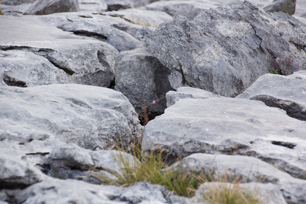
 One of the most well known Stone Age sites in County Clare is the Poulnabrone Dolmen, frequently referred to as the Hole of Sorrows. Poulnabrone is a portal tomb, with a flat stone resting atop other vertical stones, and was probably built between 2500 and 4000 BC. In 1985, during excavation after one of the standing slabs cracked, skeletal remains of over 22 people, including a newborn infant, were found under the dolmen. The tomb stands on limestone pavement in the Burren, just off the road between Ballyvaughan and Corofin. I don’t understand how or why the stones were physically placed here 5,000 years ago, but I find this a powerfully moving thin place.
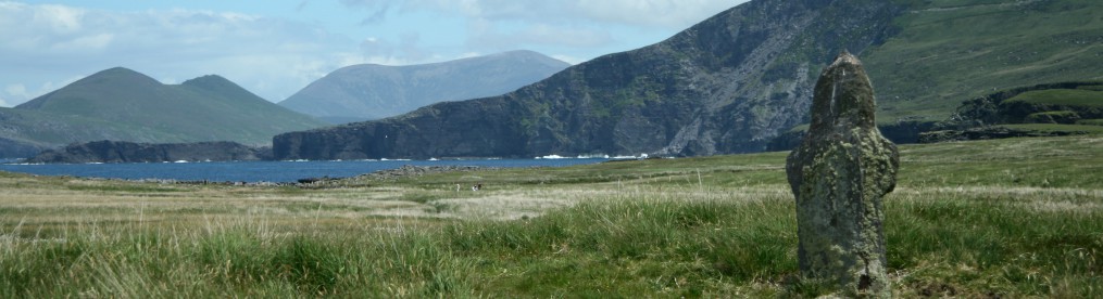
 While the Cathedral is relatively intact, more impressive are the high crosses of Kilfenora. Again, the Clare County Library provides text by Jack Flanagan titled “The Stone Crosses of Kilfenora.”


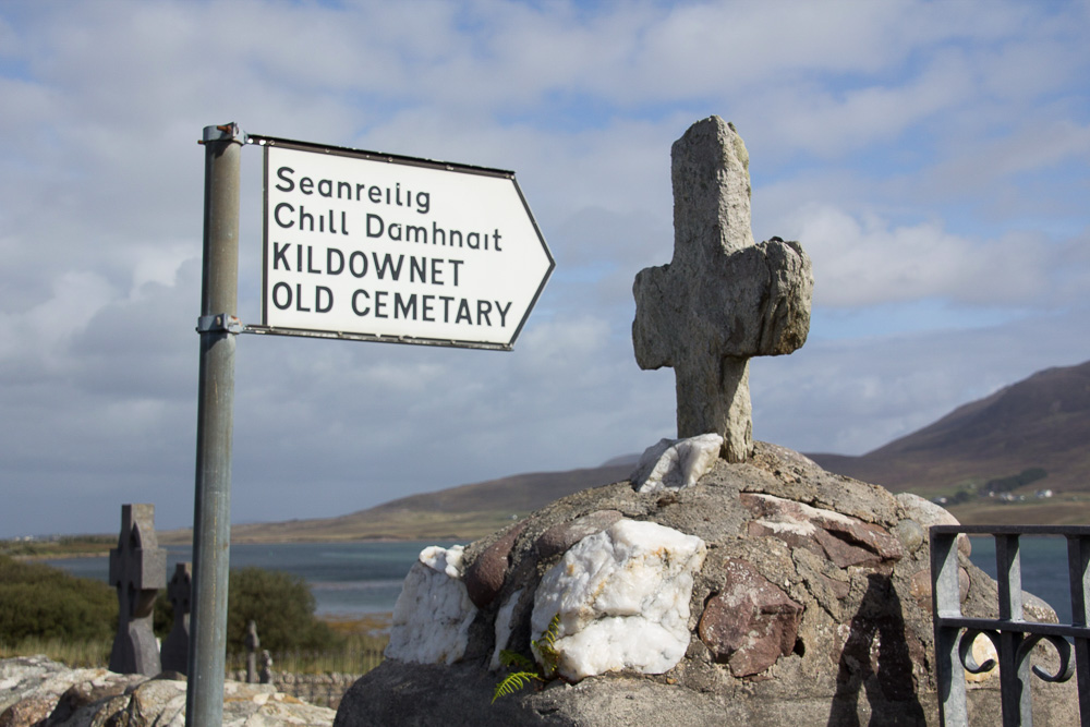
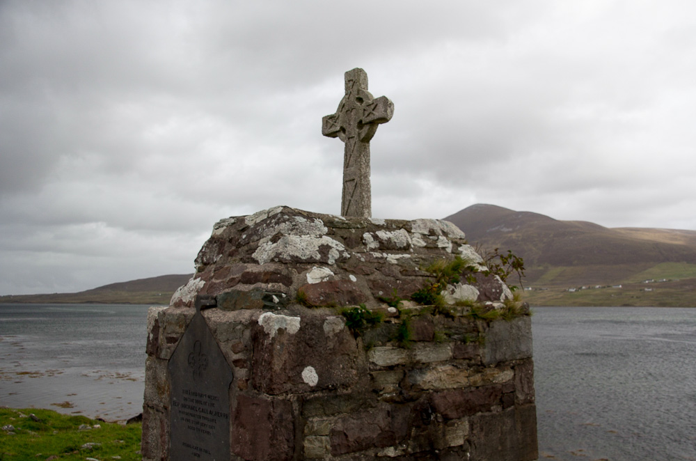
 Many of the high crosses have been relocated into an enclosure attached to the Cathedral. Several are Celtic crosses, commonly believed to represent the blending of Christian and pre-Christian traditions, with a circle that encloses the four arms of the Latin cross. There are various theories about the creation of the Celtic cross but there is no definitive evidence to support one theory over another. Most high crosses in Ireland are from the 8th century onward, while St. Patrick came to Ireland in 432 AD, so it is unlikely that St. Patrick created the symbol. Nonetheless, Celtic crosses dot the landscape and are prevalent in both Catholic and Protestant cemeteries and graveyards around the country.


